North Dakota’s statewide drone infrastructure network has achieved a milestone that no other UAS test site in the country can claim: direct integration with FAA radar data. The VANTIS system, which the state has invested millions to develop, now receives real-time radar feeds from the FAA, enabling a level of airspace awareness that could unlock large-scale beyond visual line of sight (BVLOS) drone operations across one of America’s most rural states.
What VANTIS Is
VANTIS (Vantis Airspace Integration System) is North Dakota’s ground-based infrastructure network designed to provide reliable, repeatable, real-time access to the national airspace system for unmanned aircraft of all sizes. Think of it as an air traffic control system purpose-built for drones.
The system was developed through North Dakota’s Northern Plains UAS Test Site, one of the FAA’s designated UAS test sites. The state has invested millions in building out the network with the explicit goal of enabling commercial BVLOS operations at scale.
The FAA radar integration is significant because it gives VANTIS operators real-time awareness of all manned aircraft in the area – the critical safety data needed to ensure drones can fly beyond the operator’s line of sight without risking collision with conventional traffic.
What It Enables
With FAA radar data flowing into VANTIS, the system can support a wide range of BVLOS operations:
- Agricultural monitoring. Large-scale crop health surveys across North Dakota’s vast grain and oilseed operations. Multispectral and near-infrared sensors can cover thousands of acres per day when BVLOS restrictions are removed.
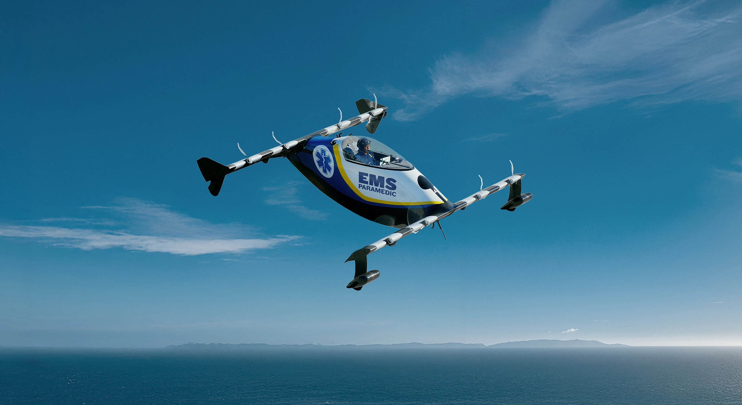
- Medical delivery. Routine supply runs to rural clinics and hospitals that are hours from major medical centers by ground.
- Oil and gas inspection. North Dakota’s Bakken Formation generates substantial oil and gas production. Pipeline, wellhead, and facility inspections by drone are faster, safer, and cheaper than manned helicopter surveys.
- Electric utility inspection. Transmission line and distribution infrastructure monitoring across rural territories where crews currently drive hundreds of miles for visual inspections.
- Railroad inspection. BNSF and other carriers operate extensive rail networks through the state. Drone inspection of track, bridges, and crossings reduces cost and risk.
Why the FAA Radar Connection Matters
Previous BVLOS operations in the U.S. have relied on ground-based radar systems, visual observers, or restrictive operating conditions to ensure separation from manned traffic. Each of these approaches limits scale.
Direct FAA radar integration changes the equation:
Coverage without new hardware. FAA radar already covers the airspace. Rather than building duplicate ground-based systems, VANTIS now taps into existing infrastructure – a vastly more cost-effective approach.
Real-time manned traffic data. The radar feed shows exactly where manned aircraft are operating, enabling automated conflict detection and resolution. This is the foundation for routine BVLOS at scale.
Regulatory precedent. North Dakota’s integration is a first. If the FAA accepts this model for operational use, other states can follow the same approach, creating a national template for drone airspace integration.
What This Means for Rural Communities
North Dakota is arguably the most rural of the FAA’s designated UAS test sites. The VANTIS system is being built specifically for the operational realities of rural airspace: vast distances, low traffic density, agricultural and energy infrastructure that needs monitoring, and communities separated by hours of driving.
Rural states have a BVLOS advantage. Lower airspace congestion means fewer conflicts to manage. North Dakota is demonstrating that rural airspace is actually the ideal environment for scaling drone operations.
Economic development opportunity. States and counties that build BVLOS infrastructure attract drone operators, technology companies, and federal research funding. North Dakota’s early investment is already paying returns in the form of industry partnerships and operational contracts.
Model for replication. Every rural state with agricultural, energy, or infrastructure inspection needs can look at VANTIS as a template. The FAA radar integration pathway, once proven, becomes available to others.
What to Watch
- FAA Part 108 rulemaking. VANTIS is positioned to be a primary beneficiary of the proposed BVLOS rule. If Part 108 is finalized, North Dakota could be among the first states to host routine commercial BVLOS operations.
- Expansion of the VANTIS network. Additional ground stations and radar integration points will extend coverage across the state.
- Commercial operator adoption. The real test is whether companies use VANTIS for revenue-generating operations, not just test flights.
The Bottom Line
North Dakota built the infrastructure. The FAA provided the radar feed. Together, they have created the most capable BVLOS-ready airspace in the country – and it is in one of the most rural states in the nation. For communities watching the drone economy develop, North Dakota is the proof case that rural goes first, not last.
The Northern Plains UAS Test Site operates under FAA designation. VANTIS is a program of the North Dakota Department of Commerce.