For rural counties, farmers, utilities, and regional airports, the important AAM story this week was not one spectacular aircraft demo. It was the slow build-out of the systems that make routine operations possible: rules for where drones can fly, test ranges for powered-lift aircraft, digital traffic management, and early cargo approvals. The thread running through the week is clear: advanced air mobility is moving from aircraft announcements toward operating infrastructure.

FAA Extends the Drone Restriction Comment Period
The FAA extended the comment period for its proposed rule on unmanned aircraft flight restrictions near fixed site facilities. Comments now run through August 5, giving utilities, infrastructure owners, drone operators, and local governments more time to respond.
The proposal would create a process for certain facility operators to request unmanned aircraft flight restrictions when justified by aviation safety, protection of people and property, national security, or homeland security. The rural angle is significant. Power lines, substations, pipelines, dams, rail yards, grain facilities, and telecom sites are exactly the kinds of assets where drones can reduce inspection costs – but also where overbroad restrictions could limit legitimate work.
For rural operators, the key question is balance. Security-sensitive facilities need protection, but counties and co-ops also need room for emergency response, utility inspection, agriculture, and public works flights. This is one to watch closely alongside the pending BVLOS framework.
FAA Breaks Ground on a Powered-Lift Test Range
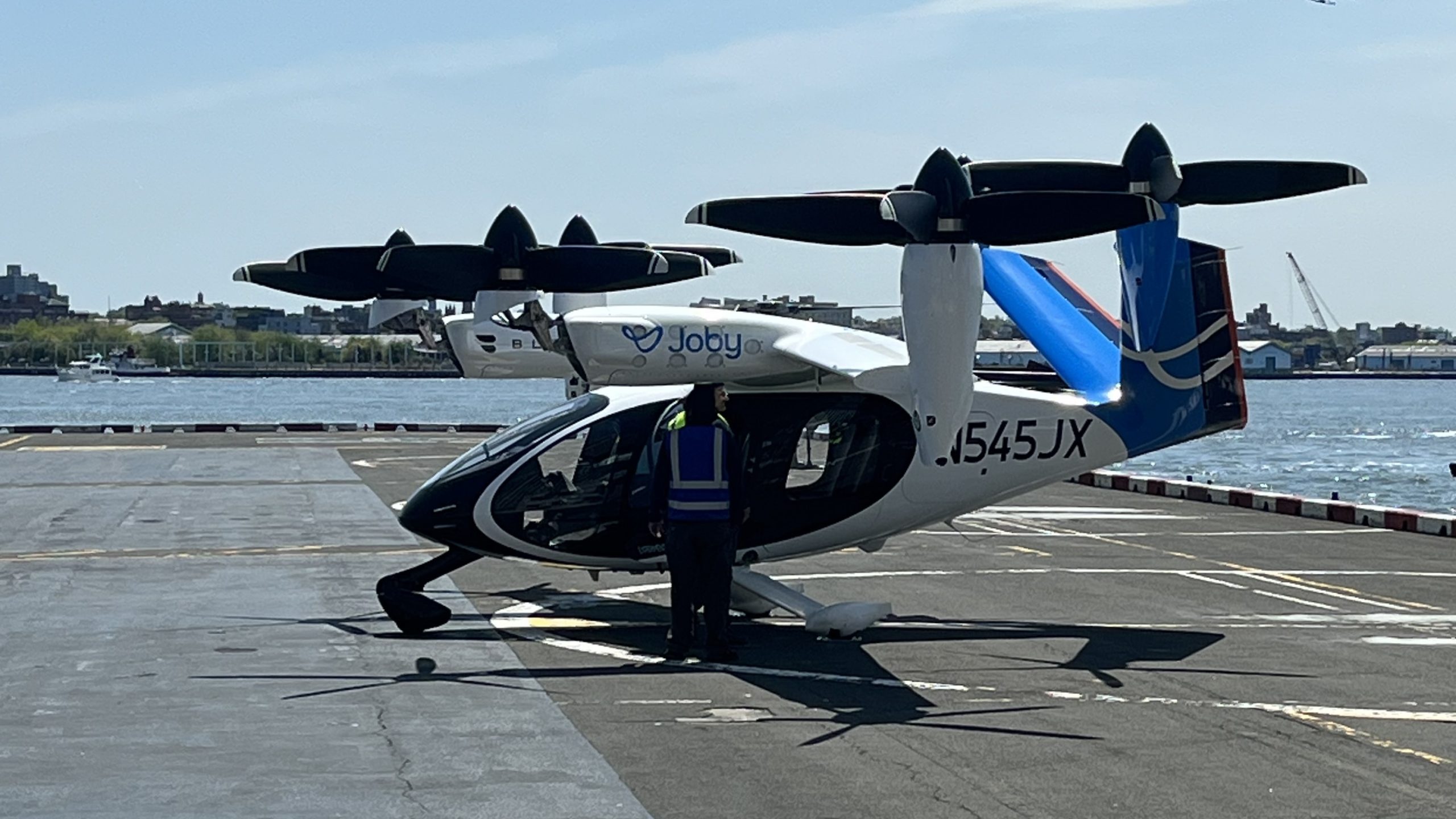
The FAA has broken ground on the $8.3 million Vertical Takeoff and Landing Procedures and Analysis Range, known as V-PAR, at the Mike Monroney Aeronautical Center in Oklahoma City, according to Aviation Week. The facility is planned for completion in summer 2027.
V-PAR will include a touchdown and liftoff area, taxiway, apron, two parking spaces for VTOL vehicles, a covered aircraft shelter, and electric charging infrastructure. Future additions could include another vertipad and a short-takeoff-and-landing runway.
That matters beyond urban air taxi routes. Rural deployment depends on standards for approach paths, downwash, wake behavior, charging, ground operations, and mixed use at small airports. If the FAA can turn test data into practical guidance, county airports and rural landing sites will have a clearer path from concept sketches to defensible plans.
Digital Airspace Infrastructure Shows Real Volume
ANRA Technologies said its Mission Manager X platform now supports more than 55,000 commercial drone operations per month in the United States, equal to more than 1,800 operations per day. The operations span delivery, utility inspection, public safety, and other enterprise uses.
The important part is not just the flight count. ANRA says the platform provides UAS Traffic Management capabilities for beyond visual line of sight (BVLOS) and other advanced operations, including strategic coordination, conflict management, conformance monitoring, Network Remote ID integration, and real-time situational awareness.
For rural communities, that is the missing middle between individual waivers and routine service. A farmer, electric co-op, or county emergency manager does not only need a drone. They need reliable coordination with other aircraft, predictable authorization pathways, and systems that can handle repeat operations over wide areas.
Spain Approves a Higher-Complexity Cargo Drone Operation
Spain’s aviation safety agency AESA issued the country’s first SAIL III authorization for UAS cargo operations, according to AESA. The approval allows CATUAV to operate RigiTech’s Eiger 3 aircraft beyond the visual line of sight for transport of non-hazardous goods in populated areas.
SAIL III refers to a higher Specific Assurance and Integrity Level under Europe’s risk-based drone framework. In plain terms, this is a more complex approval than a simple rural test flight. It is aimed at real logistics missions, including operations in environments where people and infrastructure are present.
The direct U.S. policy environment is different, but the lesson travels well. Medical logistics, spare parts delivery, lab samples, and urgent supplies are among the strongest rural use cases for drones. Europe’s progress shows how regulators can move from demonstration permissions toward operational approvals without dropping the safety bar.
A Pyrenees Airport Moves on a Mountain Vertiport
Aeroports de Catalunya launched a tender for the design and construction of the Pyrenees’ first vertiport at Andorra-La Seu d’Urgell Airport, according to Alto. The project has a maximum budget of 555,000 euros and is tied to the EU-funded NIU.LINK initiative.
The facility is expected to support electric vertical takeoff and landing aircraft, small cargo drones, and a cross-border drone corridor between Catalonia and France. Plans call for two takeoff platforms – one for air taxis and one for cargo drones – plus modular support buildings.
This is a useful model for rural and mountain regions because it starts with an existing airport rather than a blank-slate megaproject. It links vertiport planning to emergency services, tourism, cross-border mobility, and cargo. For North American rural airports, that is the more realistic near-term path: add modular capability where aviation activity, land control, and emergency access already exist.
What This Means for Rural Communities
This week’s developments point to a more practical phase for rural air mobility. The headline technologies still matter, but the decisive work is shifting toward rulemaking, site planning, digital coordination, and repeatable operations. Rural leaders should treat AAM less like a future gadget and more like an infrastructure category that touches zoning, emergency management, utilities, airports, and workforce planning.
Three priorities stand out. First, comment on rules that could shape access to rural infrastructure flights. Second, map local assets – airports, hospitals, utility sites, industrial land, agricultural parcels, and emergency response bases – before developers arrive with proposals. Third, watch BVLOS and digital airspace systems closely, because scalable rural drone operations will depend on shared traffic management as much as aircraft performance.
The near-term opportunity is not to promise flying cars in every county. It is to prepare communities for practical first uses: utility inspection, wildfire and flood response, medical logistics, crop services, and regional airport upgrades. That is where rural air mobility can earn trust before passenger service becomes routine.
Related Reading on Rural Air Mobility News
- Sky Throttles: FAA’s Impending Infrastructure Restrictions Could Shut Down Rural Utility Drones – background on fixed-site drone restrictions and rural utility operations
- FAA Part 108: The BVLOS Rule That Could Unlock Rural Drone Operations – why routine BVLOS matters for rural drone services
- How TIF Can Help Rural Communities Build Vertiports Without Waiting for Washington – local financing ideas for vertiport and landing infrastructure