This week’s advanced air mobility news had a clear pattern: fewer abstract promises, more operational plumbing. Federal agencies moved on research infrastructure and airspace management, industry pushed Congress on beyond visual line of sight (BVLOS) rules, utilities described the realities of rural drone work, and North Carolina communities weighed whether advanced aircraft belong in local transportation plans. For rural leaders, the next phase of AAM will be shaped less by aircraft renderings and more by procedures, permitting, charging, emergency response, and workforce readiness.
FAA Breaks Ground on an $8.3 Million AAM Research Range
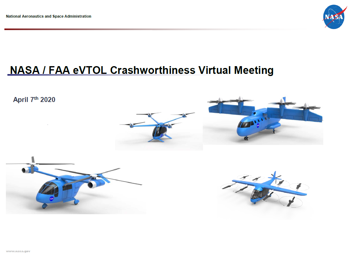
The week’s most important infrastructure story came from Oklahoma City, where the Department of Transportation and Federal Aviation Administration broke ground on the Vertical Take-Off and Landing Procedures and Analysis Range, or V-PAR. The FAA says the roughly $8.3 million facility at the Mike Monroney Aeronautical Center will include a vertiport, covered hangar, and control-center building for research on vertical takeoff and landing aircraft, including electric and hybrid designs.
The FAA’s test agenda matters because it focuses on practical questions that determine whether new aircraft can use local airports safely: wake separation, downwash and outwash, radiofrequency interference, and vertiport operations. For rural airports, those issues translate into siting rules, approach paths, emergency procedures, training needs, and whether eVTOL or hybrid-electric service can coexist with general aviation.
V-PAR also fits the FAA’s broader eVTOL Integration Pilot Program, which includes projects across 26 states. If the agency turns research into usable guidance, small communities will have a stronger basis for planning vertiports, charging, and multimodal connections before private operators define the market for them.
AUVSI Presses Congress on BVLOS, Certification, and Infrastructure
AUVSI used its 2026 Hill Day to bring more than 100 industry leaders to Capitol Hill for over 90 meetings. Its priorities included finalizing BVLOS rules under Parts 108 and 146, improving type-certification certainty for eVTOL and AAM aircraft, accelerating the eVTOL Integration Pilot Program, and fully funding the AAM Infrastructure Pilot Program.
For rural America, BVLOS is not a niche regulatory issue. Beyond visual line of sight operations are what make long-range inspection, medical delivery, search and rescue, wildfire monitoring, and agricultural drone services economically useful outside dense cities. Without a workable rule, rural operators remain dependent on waivers and one-off approvals.
The infrastructure push matters just as much. Federal planning support can help airports and local governments evaluate vertiport sites before operators arrive with fixed assumptions about land, routes, and premium passenger demand.
Utilities Show Where Rural Drone Programs Get Real
DRONELIFE’s report from InnovateEnergy Week showed how electric utilities are preparing for BVLOS while dealing with fleet transition pressure and post-storm operating constraints. Entergy, with about 100 trained UAS pilots, and Southern Company, with about 190, both described why in-house drone teams can be more effective than relying entirely on contractors.
The rural lesson is that longer range is useful, but it is not the only bottleneck. Entergy noted that a 20-mile inspection flight can produce a terabyte of imagery, creating a data-review problem when crews need to restore power quickly. In storm recovery, shorter two- to three-mile flights may be more effective if they get actionable damage information to repair teams faster.
That is a warning for counties and utilities planning drone programs. BVLOS authority can help in remote areas, but the value chain also requires trained local pilots, data triage, airspace coordination during temporary flight restrictions, secure aircraft procurement, and clear workflows between drone teams and field crews.
FAA’s SMART Program Points to the Digital Backbone AAM Will Need
The FAA also selected Air Space Intelligence to support its System Management and Resource Tool (SMART) and Flight Management Data Service. The modernization effort is aimed at improving how the National Airspace System handles growing demand, weather disruptions, capacity constraints, and congestion.
The announcement does not directly enable BVLOS drone operations or replace existing UAS Traffic Management work. Still, it matters because future rural operations cannot depend on fragile manual coordination every time a medical flight, cargo drone, crop-scouting aircraft, and conventional airplane need to share airspace. Weather, communications gaps, emergency response, and limited airport staffing all look different outside cities.
North Carolina Communities Weigh AAM Planning Before Aircraft Arrive
Local planning showed up in Wilmington, North Carolina, where the Wilmington Urban Area Metropolitan Planning Organization voted to apply for the North Carolina Department of Transportation’s advanced air mobility program. According to Port City Daily, NCDOT has committed $750,000 in consulting funding for the second round, which helps communities plan for technologies such as drone delivery and eVTOL aircraft.
The Wilmington discussion was not framed only as an airport-to-downtown air taxi pitch. Officials raised possible applications involving the airport, port, military, tourism, supply-chain gaps, emergencies, and search and rescue. That broader framing connects AAM to resilience and logistics rather than treating it as a premium passenger novelty.
The application also shows why states matter. Federal rules define what aircraft can do, but state transportation departments can help local governments test scenarios, compare sites, estimate match requirements, and build public familiarity before major capital decisions.
What This Means for Rural Communities
This week’s news points to a more disciplined AAM market. The FAA is building test infrastructure, industry is pressing for usable rules, utilities are showing where drones already provide value, and state programs are helping communities ask basic planning questions before aircraft arrive.
The near-term opportunity is preparation. Local airports can inventory possible vertiport sites, electrical capacity, emergency access, and community concerns. Utilities and county agencies can map where drones would save time today, then identify the training, data systems, and approval pathways needed to make those missions routine.
The risk is letting urban-first assumptions define the system. The better path is to document rural use cases now – medical access, storm recovery, agricultural support, regional logistics, and small-airport connectivity – and make sure those needs are visible in state and federal planning.
Related Reading on Rural Air Mobility News
- Sky Throttles: FAA’s Impending Infrastructure Restrictions Could Shut Down Rural Utility Drones – background on how infrastructure-focused FAA policy could affect rural utility drone operations.
- How TIF Can Help Rural Communities Build Vertiports Without Waiting for Washington – a local financing lens for communities planning vertiport infrastructure.
- Joby’s NYC Flights Grabbed the Headlines. The Real eIPP Story Is Playing Out in Rural America. – context on why the eVTOL Integration Pilot Program matters beyond major cities.